2016年10月号 [Vol.27 No.7] 通巻第310号 201610_310002-en
Workshop on Global Urban Carbon Mapping: For Contribution to Future Earth Knowledge Action Networks Brief report
Background and objectives
This report summarizes the main issues discussed during the “Workshop on Global Urban Carbon Mapping: For Contribution to Future Earth Knowledge Action Networks” that was held from June 29–July 1, 2016 at Hotel Freienhof Thun, in Thun, Switzerland. The workshop was organized by a group comprising the Global Carbon Project (GCP), a Future Earth core project, and The World Urban Database and Access Portal Tools (WUDAPT) project. It was organized back to back with the Future Earth Scientific Committee/Engagement Committee meeting.
The main objective of the workshop was to discuss strategies for creating a platform for gathering quantitative and qualitative data at various urban scales, ranging from individual buildings, to neighborhoods, and municipalities. Special focus was on mapping carbon emissions, which intends to downscale emissions to the level of cities and neighborhoods. Better understanding of emission patterns is essential for developing action plans for low carbon development and tracking their achievement. Such data are also essential for assessment purposes and for developing future scenarios. Over the past few years several bottom-up and top-down approaches have been undertaken to map carbon emissions of cities. However, these activities are often fragmented, lack transparency, follow different protocols that undermine their comparability, require high investment in terms of finance and personnel, and more importantly fail to integrate emission data with data on other socio-economic, institutional, and environmental factors (Gurney et al., 2015)*.
* Gurney, K.R., Romero-Lankao, P., Seto, K.C., Hutyra, L.R., Duren, R., Kennedy, C., Grimm, N.B., Ehleringer, J.R., Marcotullio, P., Hughes, S., Pincetl, S., Chester, M.V., Runfola, D.M., Feddema, J.J., Sperling, J. (2015) Track urban emissions on a human scale. Nature 525, 179-181.
Main issues discussed during the workshop
During the workshop participants discussed various top-down and bottom-up strategies for addressing these challenges and developing a collaborative framework for creating a global database on cities. While top-down strategies are mainly revolving around remote sensing techniques, bottom-up techniques are aimed at using crowdsourcing and wiki-based tools for obtaining emission data at the local level. The activity will initiate as a collaboration between GCP and WUDAPT and it is hoped that other research groups and interested parties will join us during the process. Possible stakeholders of this activity include city planners, local governments, citizens and communities, and energy, land use, and climate modelers.
WUDAPT is an initiative that aims at collecting information on different aspects of urban form and function related to climate studies. It follows a bottom-up and community-based approach for gathering spatial information and utilizes crowdsourcing for creating a database that is user friendly and publicly accessible. It is based on a Local Climate Zone (LCZ) approach that facilitates developing a world database of cities according to a consistent approach. The database is expected to be available at the end of 2016. Among other things, the database provides a platform that can be used for analyzing the interactions between different elements of urban form (buildings, streets, construction material, etc.) and urban climate.
The database on cities’ carbon emissions is intended to be linked with the WUDAPT database. This will make it possible to study the characteristics of each LCZ in terms of carbon footprint and energy consumption. Such analyses can provide further insights on the optimal population and building density, desired neighborhood typologies, and efficient street layouts.
The database on cities’ carbon emissions will also be integrated with the Global Carbon Atlas, which is today an international reference that provides annual updates on country-based carbon emissions. The Global Carbon Atlas (globalcarbonatlas.org) is an online platform to explore and visualize global and regional data on carbon fluxes resulted from human activities and natural processes. It is a community effort under the umbrella of the GCP based on the contributions of many research institutions and individual scientists around the world. The Atlas has an intention to work on design and development of a non-profit platform that facilitates public access to city emission data. A core set of carbon fluxes can be obtained through global urban GHG emission database developed at WUDAPT platform within a commonly understandable framework of the methodology used to generate the emission datasets and implied map-based products.
It was acknowledged that adding the cities’ carbon emission component to the atlas would be a challenging, but worthwhile endeavour. It is understood that fulfilling such an ambitious target requires collaboration between various researchers and local authorities. Among other things, such a collaboration should promote regular reporting of emission data by local authorities, raise funding for conducting research activities, and facilitate establishing two-way feedback loops between researchers and policy makers. There was consensus among the participants that quantifying both direct and indirect CO2 emissions is essential. However, given our resources, it would be reasonable to initiate with collecting direct emissions and add indirect emissions during next stages. When completed, the database would provide information on carbon footprint of different sectors within and across city boundaries. This data will later be integrated with information obtained from the WUDAPT project (various physical, spatial and socio-economic data related to different LCZs, available for levels 0, 1, and 2 of WUDAPT) to be used for a better-informed decision making conducive to low-carbon and resilient urban development.
Action items and potential outputs
The main actions to be taken over the next two years will be focused on creating a database for a selected number of large cities around the globe. Three major criteria were considered for selecting these cities. They should be data-rich, have a certain level of data on carbon emissions, and be representative of different climatic conditions. Accordingly, the following cities were shortlisted: Tokyo, Paris, New York, London, Shanghai, Mexico City, Bangkok, Johannesburg, Melbourne, Sao Paolo, Vancouver, Milan, Colombo, Moscow, Chicago, and Los Angeles. Work on building the database for Tokyo and Paris has already been initiated by the group. Related activities on some of these cities are already undertaken by other initiatives such as the C40 Cities which will hopefully make it easier to achieve our goals.
The work of the WUDAPT group will be mainly concentrated on land cover analysis to provide the base maps for the selected cities. During the process, the platform will also be enriched by adding further elements such as socio-economic information, transportation data, building typology, etc. through levels 1 and 2 of WUDAPT. It is also intended to work on alternative methods for land cover map analysis using Landsat 8 images and PALSAR-2.
A portfolio of different methods will be used to associate the carbon emission data to the land use categories and different classes that will be obtained using the above-mentioned methods. These include, but are not limited to, calculations using emission factors as well as using global emission data sets such as CDIAC to downscale emissions and associate them to local grids.
The final output of this ambitious activity, which provides information on emissions at the scale of cities and neighborhoods, will be of tremendous value for facilitating better-informed decision making towards sustainable cities and society. Fulfilling the aims of this activity depends on our ability to overcome challenges in terms of human and financial resources. We believe that potential challenges could be addressed through building partnerships for co-design and co-implementation of the project in collaboration with other interested stakeholders. The first step to strengthen the collaborative network has been taken by proposing our work to the newly stablished Future Earth Cities Knowledge Action Network (CKAN). The work on this KAN is still in progress. The Cities KAN intends to create a platform for engagement of a variety of research and stakeholder groups in providing knowledge on sustainable urbanization. The proposed activity is in alignment with the objectives of the Cities KAN. In particular, it aims to provide a key source of knowledge that can be used by researchers and decision makers in their efforts toward transition to sustainable urban futures. There is now enough understanding in the research and policy circles that next 2-3 decades are crucial to influence low carbon urbanization and city development. The implications of multiple urban scenarios for global emission profile will be enormous. Building a database on cities’ carbon emissions will be essential for analyzing the implications of different urbanization trajectories and urban typologies vis-à-vis key drivers. Insights provided by analyzing cities’ emission data help the researchers and policy makers understand potential mitigation wedges of urbanization. Availability of such a database will also make it easier to develop and implement transformative plans towards building sustainable and resilient communities.

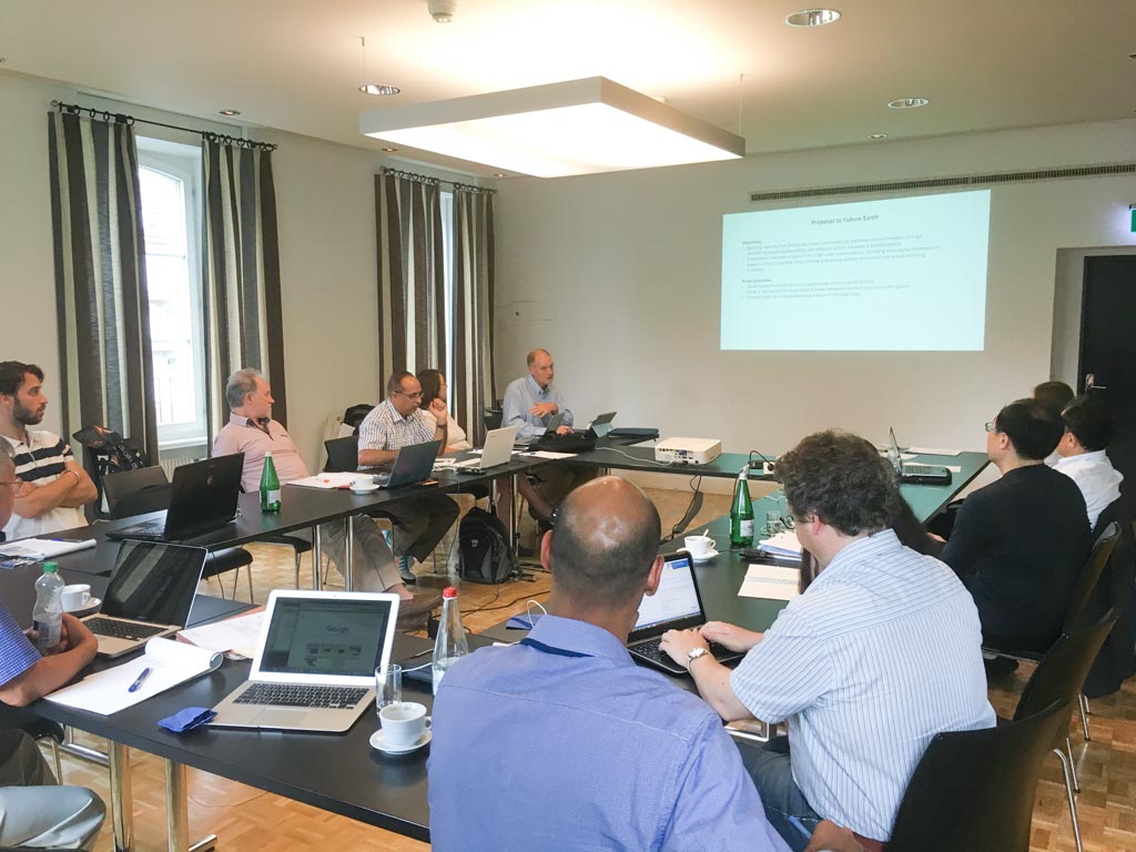
Session on the potential contribution of the activity to the Future Earth CKAN.
Overall, it is hoped that outputs of this activity shed more light on what alternative urbanization scenarios mean for the ability of urban areas to manage global carbon and build capacity to support activities of various stakeholders including urban climate scientists, energy modelers, urban planners, and citizen groups.
In addition to developing the publicly accessible database and establishing partnerships with other interested parties, our group will make efforts to disseminate information on the project through publishing several articles and commentaries in respected journals over the next 2 years.
Further information about the workshop, including the list of participants and the presentation slides, is available at: http://www.cger.nies.go.jp/gcp/gcp-wudapt-workshop-on-global-urban-carbon-mapping.html

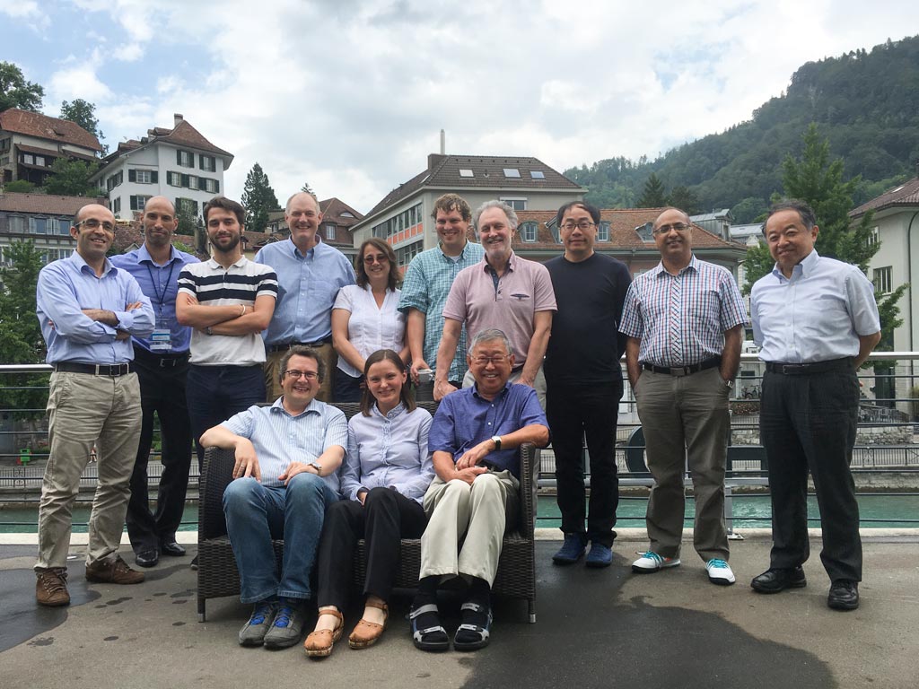
Group photo of the workshop participants.


