

Tadanobu Nakayama [Watershed Environments and Management Research Project, National Institute for Environmental Studies (NIES)]
Masataka Watanabe [Keio University]
CGER Reports
CGER’S SUPERCOMPUTER MONOGRAGH REPORT Vol.11
Development of Process-based NICE Model and Simulation of Ecosystem Dynamics in the Catchment of East Asia (Part I)
 PDF, 15.0 MB
Summary-100p-
Human activity has dramatically changed ecosystem dynamics in East Asian catchments (Fig.1). To facilitate sustainable development, it is necessary to quantify the mechanisms of ecosystem change. Numerical models are very powerful tools in this process.
This monograph (Part I) deals with an approach to integrating grid-based numerical models, ground-truth observation data, and satellite data in order to evaluate and forecast ecosystem degradation caused by water/heat/mass cycle changes. The authors have developed a new process-based catchment model, the NIES Integrated Catchment-based Eco-hydrology (NICE) model, which is described on the basis of governing equations and schematic figures (Fig.2). NICE simulates surface-unsaturated-saturated water processes and assimilates land-surface processes describing variations in phenology with satellite data.
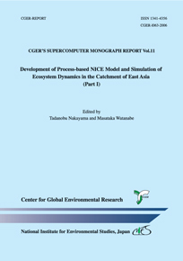
The main study areas are the Kushiro Mire, Lake Kasumigaura, the Kanto Plain, and the Changjiang and Yellow River in China. In this monograph (Part I), we review the basic processes of NICE and how this model was applied to the catchments characteristic of natural and agricultural regions in both Japan and China. For example, we introduce results of quantitative reproduction of drying phenomena in the Kushiro Mire (Fig.3), prediction of the hydrologic cycle by river re-meandering induced by the nature restoration project (Fig.4), and reproduction of groundwater degradation in the North China Plain (NCP) (Fig.5).
NICE is now being further developed in order to evaluate various ecosystem mechanisms in East Asia. We plan to report on this research in future versions of this monograph (Part II).
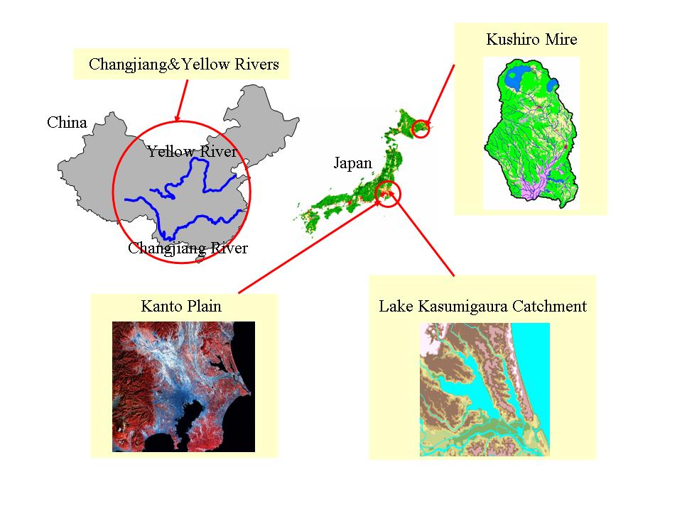 Fig.1 Areas in this study evaluated for ecosystem degradation by water/heat/mass cycle changes. |
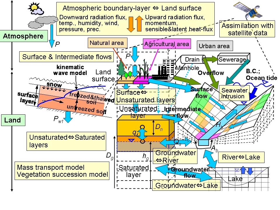 Fig.2 Process-based NICE (NIES Integrated Catchment-based Eco-hydrology) model. |
 Fig.3 Simulated results of groundwater level and soil moisture in the Kushiro Mire. Circled areas show decreases in groundwater level and soil moisture corresponding to the invasion of Alnus japonica. |
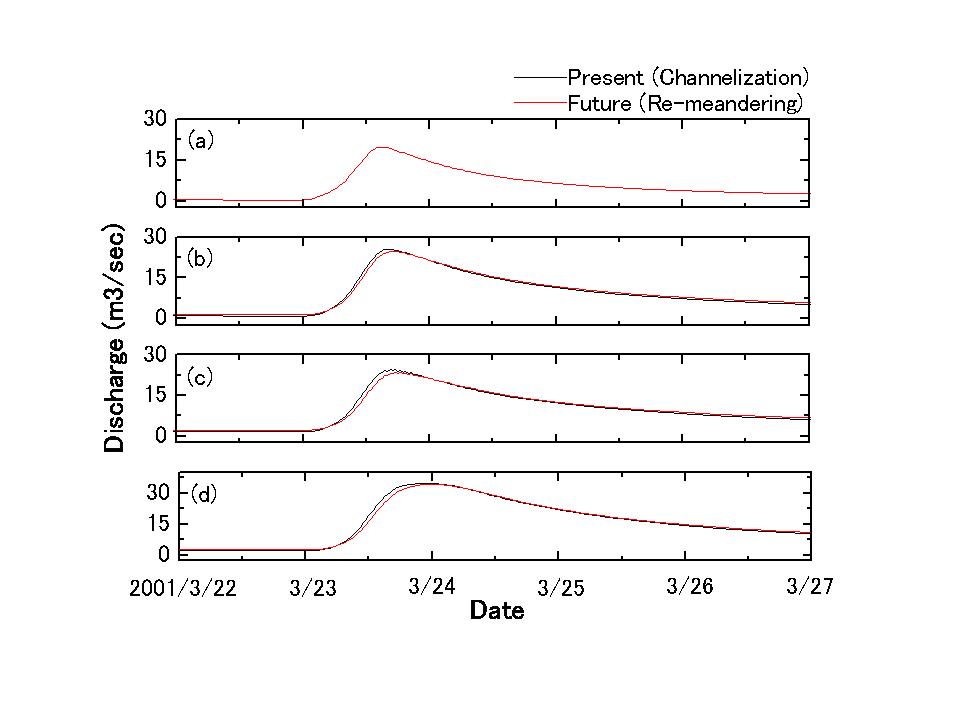 Fig.4 Prediction of river discharge after channel re-meandering. Simulation results show an increase in base flow and decrease in peak flow, indicating that the recently begun project to re-meander the channelized rivers will be effective in aiding in recovery of mire vegetation. |
 Fig.5 Simulated annually averaged groundwater levels in the North China Plain (NCP). The simulation shows that groundwater levels have decreased yearly corresponding to an increase in water demand. |